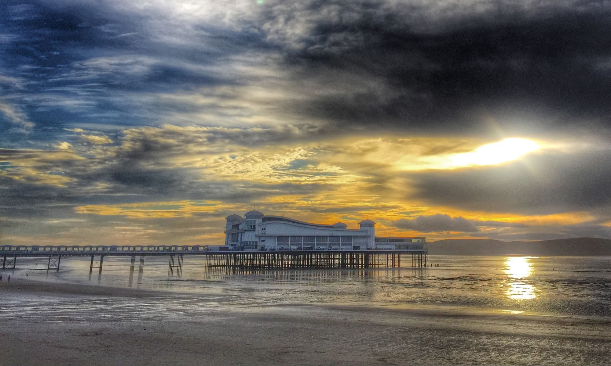
A370 #366photos2020

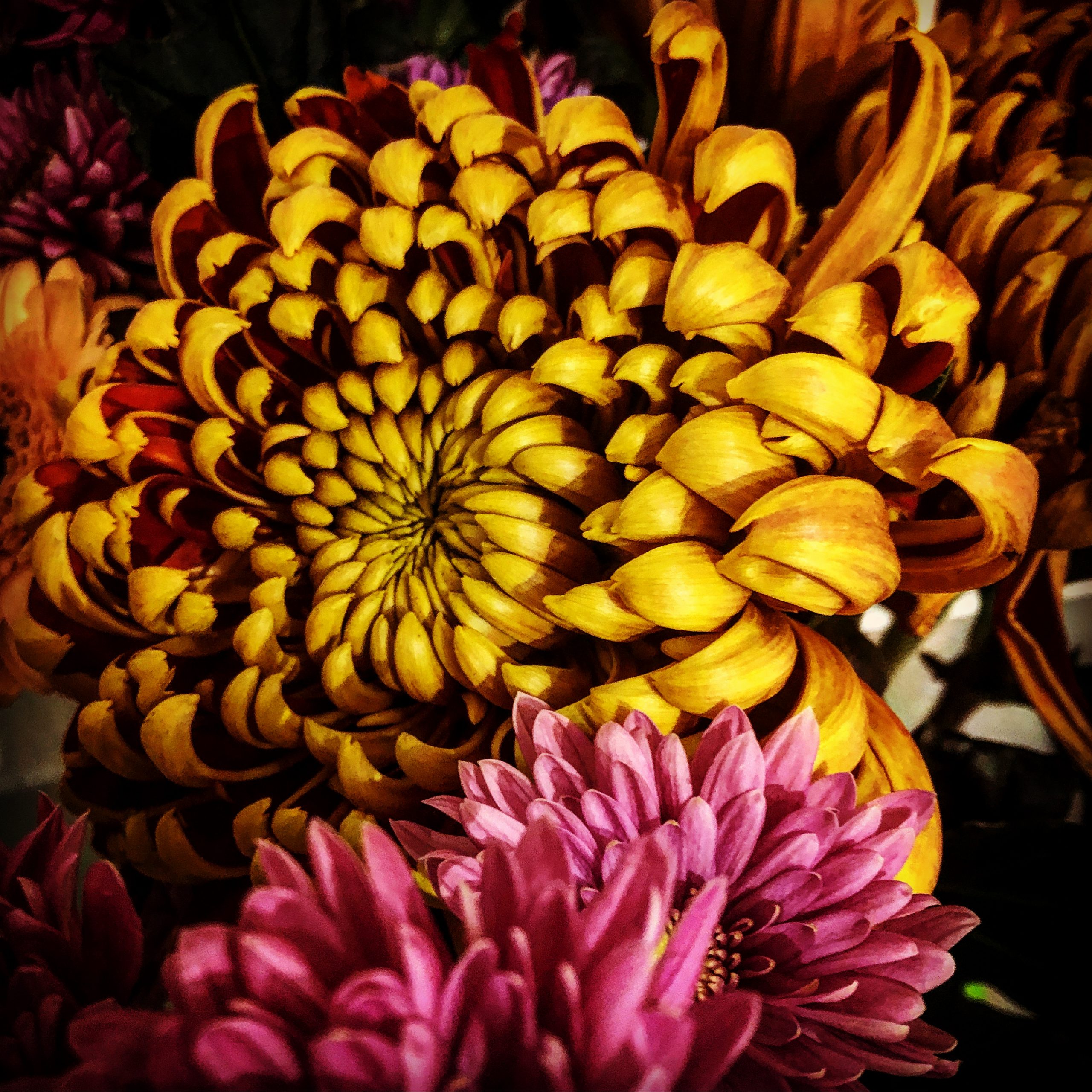
Now that’s interesting #366photos2020

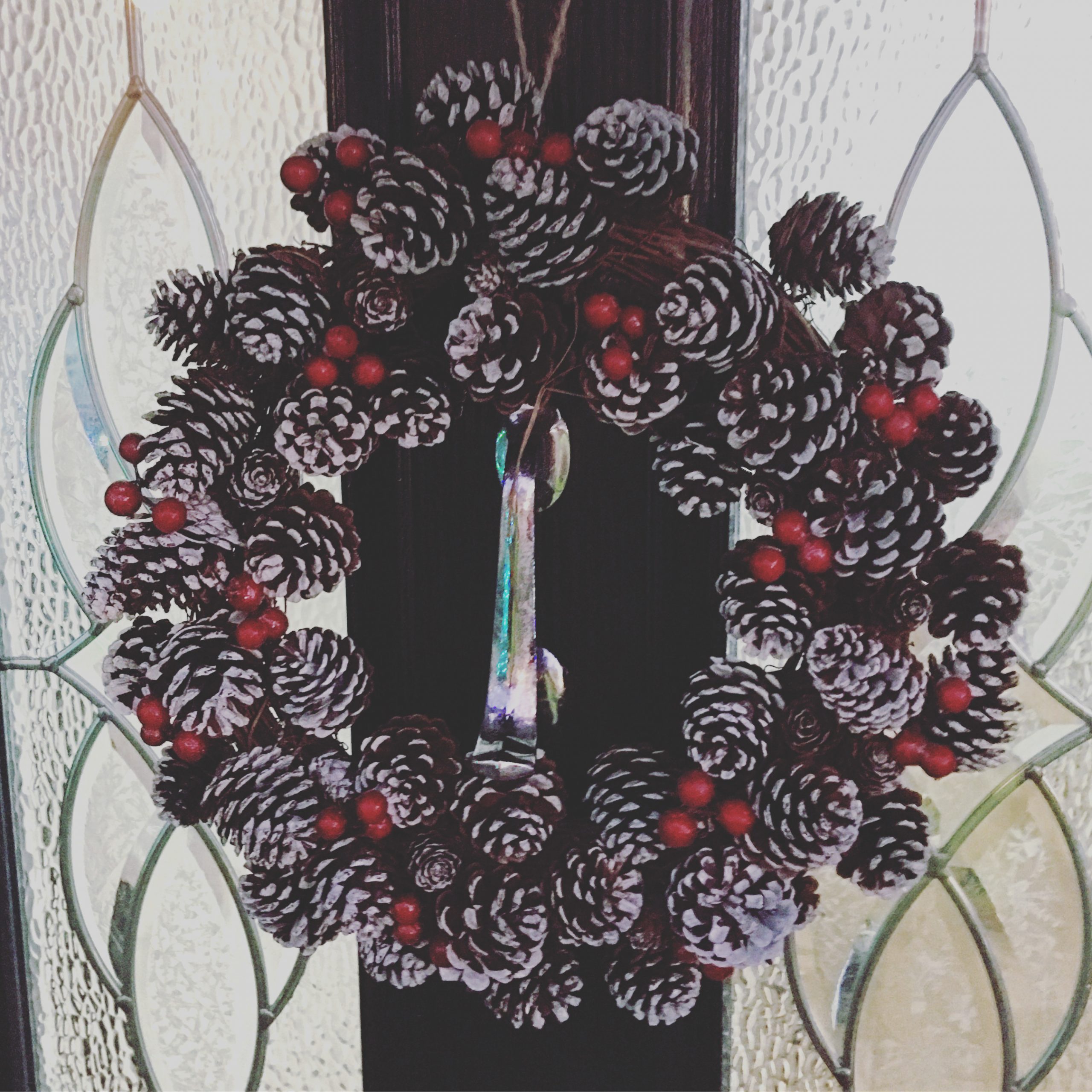
Wreath #366photos2020
Puzzle #366photos2020

Then and Now – Ashton Court
This is a regular series of blogs about photographs of the same place taken years apart.
I quite like those Then and Now comparison photographs that you see in books or on the Twitter or Facebook.
I always think I should give them a go. However what I have started to notice is that I have been doing Then and Now photographs unintentionally over the years and have been taking photographs of the same thing or place from the same view or perspective years apart. The first instance of this that I noticed was in May 2019 when I went to Manchester.
It only really came to my attention that I was doing this a lot, when checking the Places function on the Apple Photos Mac App that I could see I had taken the same photograph of the same thing just years apart!
This view was taken in October 2014.

This was on our most recent visit to Ashton Court in September 2020.
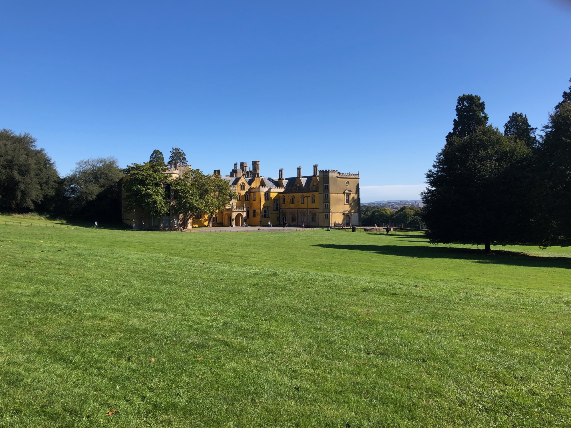
Six years apart and pretty much the same view!
I was there in June 2017 as well and took this very similar shot.

Ashton Court is a mansion house and estate to the west of Bristol in England. Although the estate lies mainly in North Somerset, it is owned by the City of Bristol.
Polar Express #366photos2020

Choices #366photos2020

Just doing my shopping… #366photos2020

Well the tree is up now #366photos2020
